
Mount St. Helens National Volcanic Monument
Mount St. Helens National Volcanic Monument was established following the 1980 eruption and is maintained by the U.S. Forest Service.

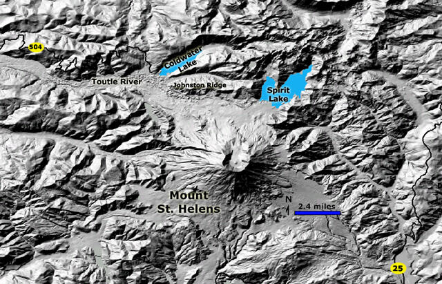
Park Map of Mount St. Helens Natoinal Volcanic Monument
Sources/Usage: Public Domain. View Media Details